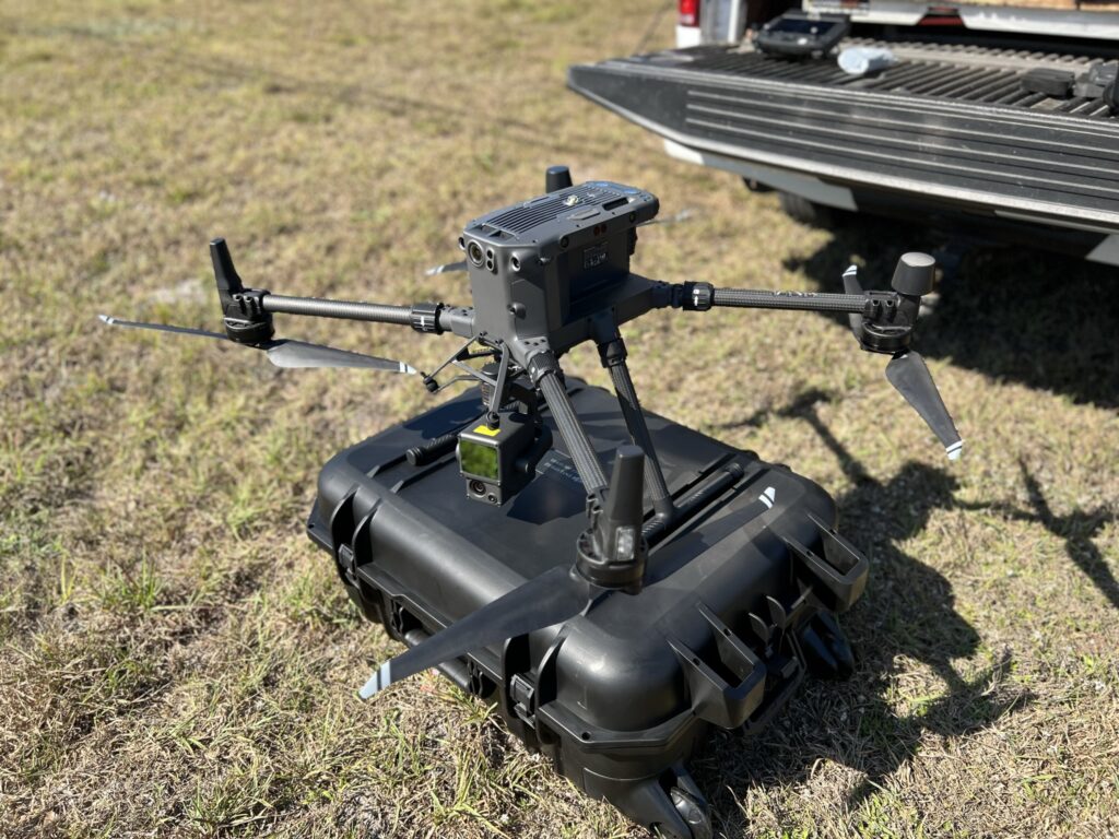
BPI Takes Flight
As a leading surveying firm, BPI has recognized the immense potential of drones in various industries, including surveying. To enhance our service offerings and embrace technological advancements, we have recently integrated drones into our operations, allowing us to provide efficient and accurate surveying services to our clients.
By incorporating drones into our surveying operations, we can collect aerial data swiftly and with remarkable precision. Equipped with advanced cameras and sensors, our DJI drones capture high-resolution images, aerial photographs, and topographical data, providing us with a comprehensive view of the survey area. This enables us to analyze and map large tracts of land in a fraction of the time it would take using traditional surveying methods.
A Safer Work Environment
The utilization of drones in our surveying services also enhances safety and reduces risk. With drones, we eliminate the need for our surveyors to physically access hazardous or hard-to-reach areas, minimizing the potential dangers associated with difficult terrains, construction sites, or remote locations. This not only ensures the safety of our surveyors but also allows them to focus on data analysis and interpretation, improving overall efficiency.
Real Time Project Monitoring
Apart from topographic surveys, BPI’s drone program is proving invaluable in the monitoring of ongoing projects. Drones equipped with high-resolution cameras can be deployed regularly to capture up-to-date images and videos of construction sites, beach renourishment projects, landfill volumes, and other large-scale projects. Our project managers and clients can remotely monitor progress, identify potential issues, and make informed decisions in real-time.
Mapping Tomorrow
With the integration of drones into our surveying services, we showcase our commitment to embracing technological advancements and providing cutting-edge solutions to our clients. By leveraging the accuracy, efficiency, and cost-effectiveness of drones, we position ourselves as industry leaders, ensuring that we remain at the forefront of innovation in the financial industry while delivering exceptional surveying services to our valued clients.